New U.S.-European Sea Level Satellite Will Help Safeguard Ships at Sea
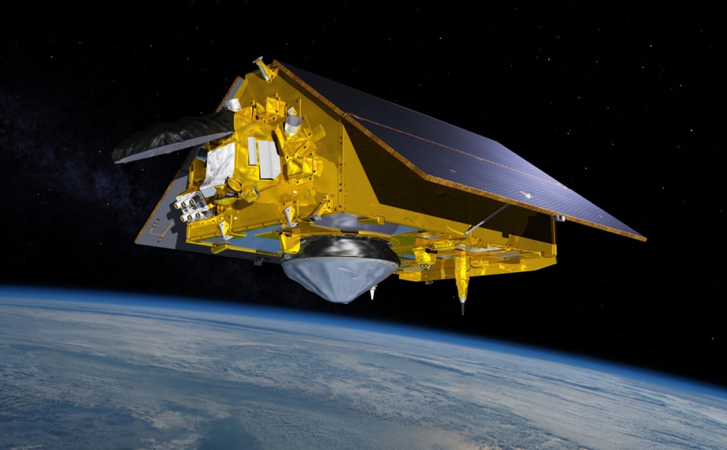
The Sentinel-6B satellite, a joint mission by NASA and the European Space Agency (ESA), is set to transform marine weather forecasting and improve shipping safety worldwide. Launching this November, the satellite will provide precise sea surface height data crucial for predicting storms, rough seas, and powerful currents.
Why Sentinel-6B Matters
Nearly 90% of global trade moves across oceans. Accurate ocean forecasts are critical to protecting cargo ships, crews, and maritime operations. Sentinel-6B continues the legacy of its twin, Sentinel-6 Michael Freilich (launched in 2020), by carrying advanced radar altimeter instruments that measure sea levels, wind speeds, and wave heights.
This real-time data feeds into meteorological models, helping forecasters warn ships about dangerous sea states and shifting currents like the Gulf Stream. Such information allows vessels to adjust their routes, preventing cargo losses and damage caused by extreme waves.
Safeguarding Global Shipping
According to NOAA’s Ocean Prediction Center, satellite data is the most reliable way to track large ocean currents. Traditional floating sensors provide limited coverage, but satellite altimetry delivers global monitoring. This enables shipping companies to make informed decisions and avoid hazardous conditions caused when waves interact with strong currents.
Warm currents like the Gulf Stream sit higher than cooler water. When storm waves hit these sharp boundaries, seas can turn violent, creating severe risks for even the largest ships. Sentinel-6B will provide the real-time intelligence needed to minimize such dangers.
A Legacy of Sea Level Monitoring
Since 1992, a series of satellites has provided uninterrupted sea level measurements from space. Sentinel-6B will extend this 30-year dataset, offering centimeter-level accuracy. This consistency is essential for both immediate forecasting and long-term studies of climate change and rising seas.
NASA scientists call this dataset the “gold standard” of ocean topography, as it allows new missions to be calibrated with older ones, ensuring precise, stable data. This long record helps scientists and forecasters understand not only current ocean conditions but also how they are shifting over decades.
An International Collaboration
The Sentinel-6/Jason-CS mission is a partnership between NASA, ESA, EUMETSAT, NOAA, the European Commission, and CNES. Each organization contributes funding, instruments, and expertise. NASA’s Jet Propulsion Laboratory (JPL) provided advanced instruments like the Microwave Radiometer and Laser Retroreflector Array, ensuring precise measurements from orbit.
With Sentinel-6B’s launch, scientists and mariners gain a powerful tool that will enhance climate monitoring, improve marine forecasts, and most importantly, keep ships and crews safer at sea.